Access Denied
IMPORTANT! If you’re a store owner, please make sure you have Customer accounts enabled in your Store Admin, as you have customer based locks set up with EasyLockdown app. Enable Customer Accounts


1
/
of
3
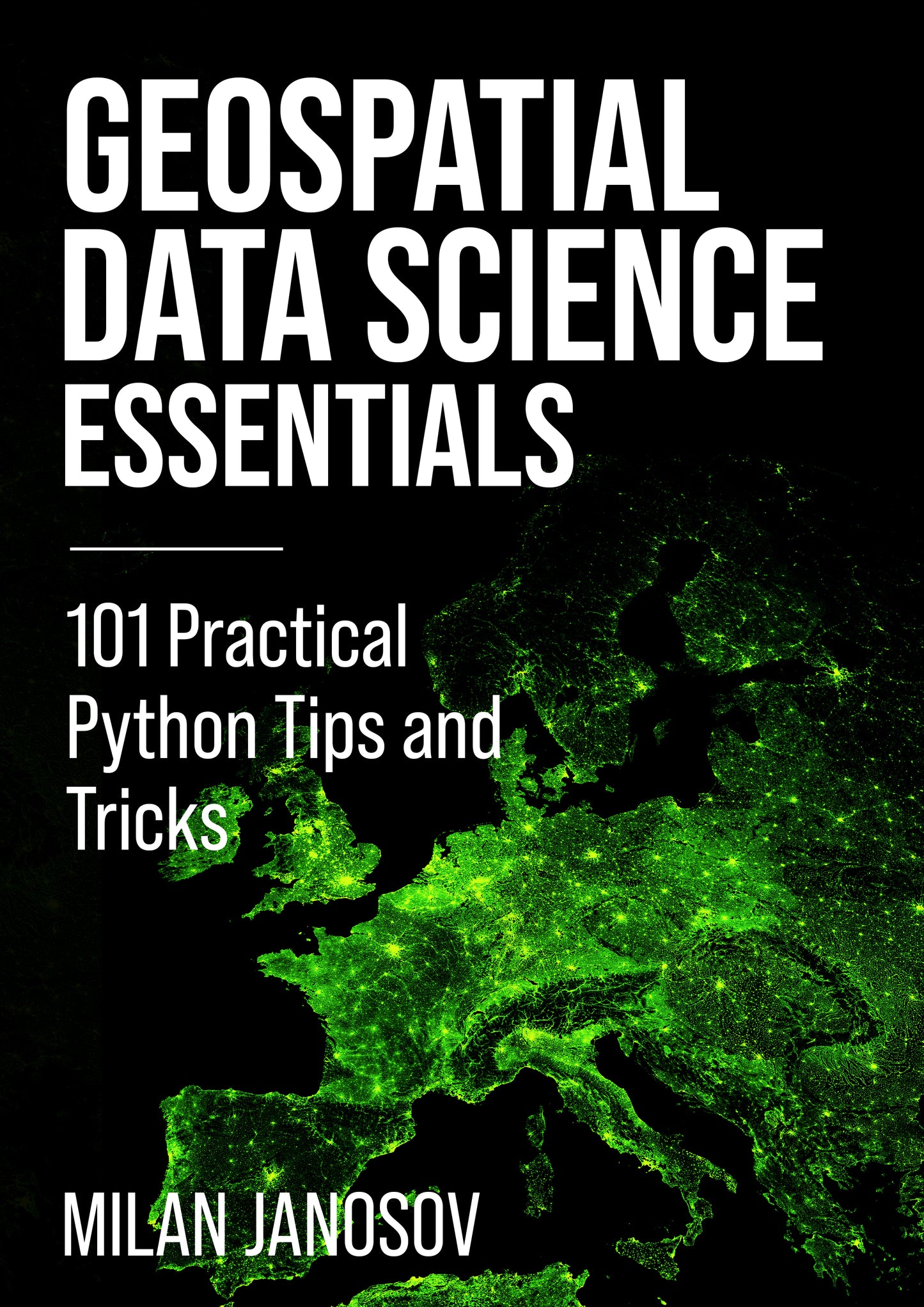
Geospatial Data Science Essentials e-Book
Geospatial Data Science Essentials e-Book
Regular price
€5,89 EUR
Regular price
Sale price
€5,89 EUR
Unit price
/
per
Tax included.
Couldn't load pickup availability
Geospatial Data Science Essentials is your hands-on guide to mastering the science of geospatial analytics using Python. Designed for practitioners and enthusiasts alike, this book distills years of experience by wrapping up 101 key concepts from theory to implementation, ensuring you gain a practical understanding of the tools and methods that define the geospatial data science landscape today.
Whether you are a seasoned data scientist, a GIS professional, a newcomer to spatial data, or simply a map lover, this book provides you solid foundation to level up your skills. The book is centered around practicalities, as you will explore real-world examples with compact code throughout ten topics and 101 sections. From understanding spatial data structures to leveraging advanced analytical techniques, from spatial networks to machine learning, this book equips you with a wide range of knowledge to navigate and succeed in the rapidly evolving field of geospatial data science.
Embrace the journey into geospatial data science with this essential guide and discover the power of Python in unlocking the potential of spatial analytics.
What you get
In this package, you will find the following:
- A pdf version of the e-book
- An e-pub version of the book is compatible with any e-book readers. You can add, for instance, to your Kindle here: https://www.amazon.com/sendtokindle
- A set of Jupyter Notebooks contains all the book's code. To set up your environment, check the Setting Up section, or follow my YouTube tutorial: https://www.youtube.com/watch?v=nGFgFwfTtC8
Introduction to Geometries
1. Creating a Point
2. Creating Line Segments
3. Creating Polygons and Multipolygons
4. Buffering a Geometry
5. Set Operations on Geometries
6. Area and Perimeter Computation
7. Computing Centroids
8. Enclosing Polygons
9. Creating a Bounding Box
10. Within-test
11. Distance Calculation
12. Simplifying Geometries
13. 3D Objects in Shapely
Vector Data in Python
14. Querying the Built-in Datasets in GeoPandas
15. Parsing a Data File into a GeoDataFrame
16. Creating a GeoDataFrame from Scratch
17. Creating a GeoDataFrame from a DataFrame
18. Writing a GeoDataFrame to a File
19. Accessing the Geometry Column as a GeoSeries
20. Bounds of a GeoSeries
21. Area and Perimeter Computation
22. Simple Visualization with GeoPandas
23. Buffering a GeoDataFrame
24. Spatial Join with GeoPandas
25. Overlaying GeoDataFrames
26. Dissolving Polygons
27. Splitting Geometries in a GeoDataFrame
28. Applying Simple Functions on GeoDataFrames
29. Generating Random Synthetic Data
30. Counting Points in Polygons
Visualizing Geospatial Data
31. Using Matplotlib for Categorical Coloring in Geospatial Data
32. Using Matplotlib for Continuous Value Coloring with Linear Scale
33. Using Matplotlib for Continuous Value Coloring with Logarithmic Scale
34. Visualizing Multiple GeoDataFrames
35. Creating a Heatmap from Point Data
36. Adding Basemap with Contextily
37. Creating a Simple Interactive Map with Folium
38. Creating a Simple Interactive Map with Plotly
39. Visualizing 3D Geometries with Matplotlib
40. Visualizing 3D Geometries with Pydeck
Map Projections
41. Querying Coordinate Reference Systems
42. Setting the Default CRS
43. Reprojecting a GeoDataFrame
44. Understanding Global vs. Local CRS
45. Additional Projection Systems
46. Transforming Coordinates Directly
47. Obtaining EPSG Codes
Spatial Indexing
48. Creating a Simple Spatial Index in GeoPandas
49. Using Simple Spatial Indexes for Efficient Queries
50. Efficient Spatial Indexing with RTree
51. Creating a Square Grid from Scratch
52. Visualizing RTree Indexing
53. Enclosing Grid Cell Identification Using RTree
54. Introduction to H3 Indexing
55. Visualizing H3 Grids
Geocoding
56. Geocoding a Single Address Using GeoPy
57. Reverse Geocoding Coordinates
58. Batch Geocoding Multiple Addresses
59. Handling Missing Geocodes
60. From Geocoding to GeoDataFrame
61. Geocoding within a DataFrame
Raster Data in Python
62. Reading Raster Data
63. Clip the raster data file using GeoPandas
64. Writing Raster Data
65. Visualizing Raster Data
66. Histogram Equalization on Raster Data
67. Applying Simple Functions on Raster Data
68. Reprojecting Raster Data
69. Compute Zonal Statistics
70. Convert a Raster Grid into Vector Data
71. Reading Large Raster Files Efficiently
72. Clipping Large Raster Files
73. Visualizing Large Raster Files
74. Downsampling a Large Raster File
Introduction to OpenStreetMap Data
75. Downloading Administrative Areas from OpenStreetMap (OSM)
76. Using OSMnx to Download Points of Interest (POIs)
77. Using OSMnx to Download Parks as Polygons
78. Using OSMnx to Download Building Footprints
79. Using OSMnx to Download Road Networks
80. Visualizing Complex Urban Areas
Spatial Networks
81. Road Networks in GeoPandas
82. From GeoDataFrames to Spatial Networks
83. Visualizing Spatial Networks
84. Calculating the Shortest Path
85. Visualizing the Shortest Path
86. Generating Walking Distance Isochrones
87. Obtaining spatial network statistics
88. Network Centrality Measures
89. Community Detection in Spatial Networks
Geospatial Statistics and Machine Learning
90. Descriptive Statistics with GeoPandas
91. Global Spatial Autocorrelation
92. Local Spatial Autocorrelation
93. Spatial Feature Generation
94. OLS Regression on Spatial Data
95. Spatial Regression Models
96. Spatial Random Forest
97. Comparing Spatial Regression Models
98. Hotspot Analysis
99. Kernel Density Estimation
100. Inverse Distance Weighting for Spatial Interpolation
101. Spatial Clustering
★★★★★
★★★★★
★★★★★
★★★★★
Invalid password
Enter